

GIVE THE PERFECT GIFT
Erin Mills Town Centre Gift Cards are the perfect choice for your gift giving needs.Purchase gift cards at kiosks near the food court or centre court, at Guest Services, or click below to purchase online.PURCHASE HEREHome
A Guide to Civil War Maps in the National Archives
Indigo
Loading Inventory...
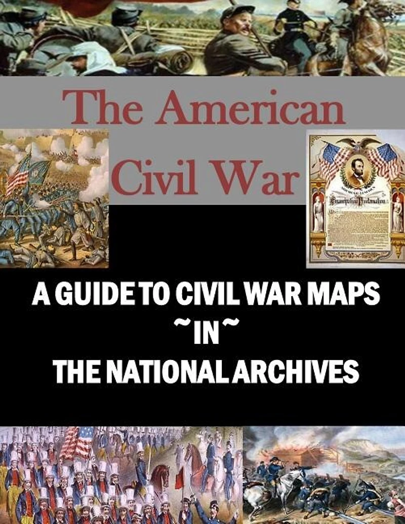
A Guide to Civil War Maps in the National Archives
Current price: $19.50

A Guide to Civil War Maps in the National Archives
Current price: $19.50
Loading Inventory...
Size: Paperback
*Product information may vary - to confirm product availability, pricing, shipping and return information please contact Indigo
Civil War Maps in the National Archives lists the approximately 8,000 Civil War maps, charts, and plans in the Cartographic and Architectural Branch of the National Archives, the largest single body of cartographic records pertaining to the American Civil War. The records described in this guide are maps, plans, and charts containing information relating directly to Civil War operations and installations. Most of the material described dates from the war and was produced for use by the military forces or to accompany official reports. Many of the maps that are con temporary with the war do not deal specifically with military operations, but do provide information concerning the areas directly affected by the conflict. A number of postwar maps contain military information, usually prepared for historical purposes or in connection with official investigations of Civil War operations.Almost all of the Civil War maps in the National Archives are Federal maps, prepared by or for the Union forces or other agencies of the Federal Government. A few are commercially published maps that were acquired for use and annotated by personnel in Federal military or civilian offices. The Confederate maps described in this guide were, for the most part, captured by Union officers. Maps that are filed with Civil War correspondence, reports, and similar documents are not included here.
Civil War Maps in the National Archives lists the approximately 8,000 Civil War maps, charts, and plans in the Cartographic and Architectural Branch of the National Archives, the largest single body of cartographic records pertaining to the American Civil War. The records described in this guide are maps, plans, and charts containing information relating directly to Civil War operations and installations. Most of the material described dates from the war and was produced for use by the military forces or to accompany official reports. Many of the maps that are con temporary with the war do not deal specifically with military operations, but do provide information concerning the areas directly affected by the conflict. A number of postwar maps contain military information, usually prepared for historical purposes or in connection with official investigations of Civil War operations.Almost all of the Civil War maps in the National Archives are Federal maps, prepared by or for the Union forces or other agencies of the Federal Government. A few are commercially published maps that were acquired for use and annotated by personnel in Federal military or civilian offices. The Confederate maps described in this guide were, for the most part, captured by Union officers. Maps that are filed with Civil War correspondence, reports, and similar documents are not included here.
You May Also Like











More About Indigo at Erin Mills Town Centre
The largest book retailer in Canada also offers toys, music, home décor, gifts and lifestyle products. What's Inside...Books, Magazines, CD’s and DVD’s, Toys and Gifts, Home Accents, Electronics, Baby’s and Children’s Section, Bath and Body, Kitchen and Bedroom, Stationary Located outside in the exterior plaza.
5015 Glen Erin Dr, Mississauga, ON L5M 0R7, Canada
Find Indigo at Erin Mills Town Centre in Mississauga ON
Visit Indigo at Erin Mills Town Centre in Mississauga ON