

GIVE THE PERFECT GIFT
Erin Mills Town Centre Gift Cards are the perfect choice for your gift giving needs.Purchase gift cards at kiosks near the food court or centre court, at Guest Services, or click below to purchase online.PURCHASE HEREHome
Addressing Earth's Challenges: GIS for Earth Sciences
Indigo
Loading Inventory...
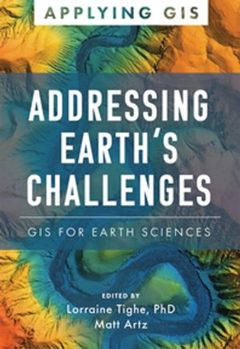
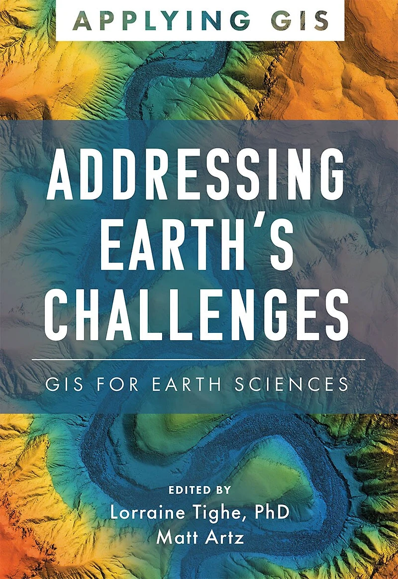
Addressing Earth's Challenges: GIS for Earth Sciences
Current price: $25.59
Original price: $31.99

Addressing Earth's Challenges: GIS for Earth Sciences
Current price: $25.59
Original price: $31.99
Loading Inventory...
Size: Kobo eBook
*Product information may vary - to confirm product availability, pricing, shipping and return information please contact Indigo
Discover The Geographic Approach to enabling science for a more exceptional planet. Place matters to governments and citizens, and location intelligence and data science have never been more critical for smarter national decision-making. Addressing Earth’s Challenges: GIS for Earth Sciences explores a collection of real-life stories about how earth science organizations successfully use geographic information systems (GIS) to visualize and analyze data to streamline workflows, gain competitive insight, drive decision-making, design efficient operations, and foster civic inclusion. Find out how multiple organizations implement GIS in six scientific fields:
geoscience,
sustainable energy,
environmental monitoring,
climate science,
weather, and
marine science.
The book also includes a section on next steps that provides helpful ideas, strategies, tools, and actions to help jump-start your use of GIS for earth sciences. A collection of online resources, including additional stories, videos, new ideas and concepts, and downloadable tools and content, complements this book.
Discover The Geographic Approach to enabling science for a more exceptional planet. Place matters to governments and citizens, and location intelligence and data science have never been more critical for smarter national decision-making. Addressing Earth’s Challenges: GIS for Earth Sciences explores a collection of real-life stories about how earth science organizations successfully use geographic information systems (GIS) to visualize and analyze data to streamline workflows, gain competitive insight, drive decision-making, design efficient operations, and foster civic inclusion. Find out how multiple organizations implement GIS in six scientific fields:
geoscience,
sustainable energy,
environmental monitoring,
climate science,
weather, and
marine science.
The book also includes a section on next steps that provides helpful ideas, strategies, tools, and actions to help jump-start your use of GIS for earth sciences. A collection of online resources, including additional stories, videos, new ideas and concepts, and downloadable tools and content, complements this book.
You May Also Like









More About Indigo at Erin Mills Town Centre
The largest book retailer in Canada also offers toys, music, home décor, gifts and lifestyle products. What's Inside...Books, Magazines, CD’s and DVD’s, Toys and Gifts, Home Accents, Electronics, Baby’s and Children’s Section, Bath and Body, Kitchen and Bedroom, Stationary Located outside in the exterior plaza.
5015 Glen Erin Dr, Mississauga, ON L5M 0R7, Canada
Find Indigo at Erin Mills Town Centre in Mississauga ON
Visit Indigo at Erin Mills Town Centre in Mississauga ON