
GIVE THE PERFECT GIFT
Erin Mills Town Centre Gift Cards are the perfect choice for your gift giving needs.Purchase gift cards at kiosks near the food court or centre court, at Guest Services, or click below to purchase online.PURCHASE HEREHome
Appalachian Trail New York-new Jersey Guide Book Map Set
Indigo
Loading Inventory...
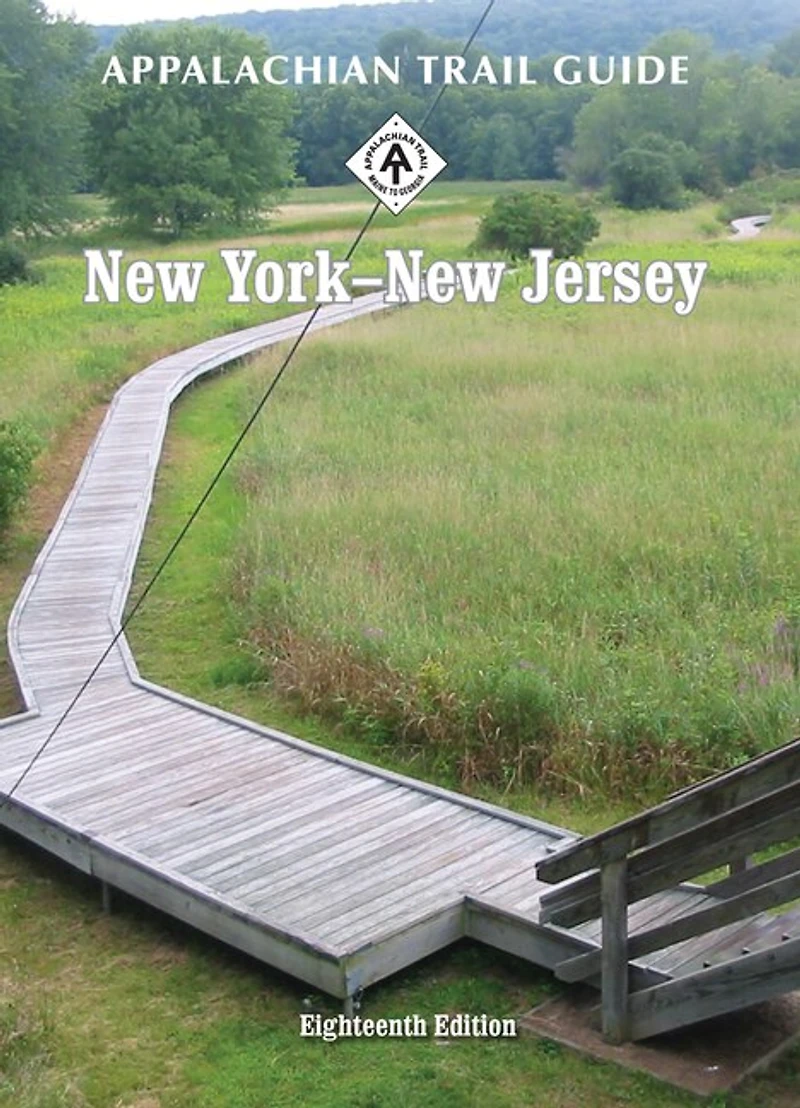
Appalachian Trail New York-new Jersey Guide Book Map Set
Current price: $44.95

Appalachian Trail New York-new Jersey Guide Book Map Set
Current price: $44.95
Loading Inventory...
Size: Paperback
*Product information may vary - to confirm product availability, pricing, shipping and return information please contact Indigo
The New York-New Jersey edition covers 173.5 miles from Kent, Connecticut, to Delaware Water Gap National Recreation Area on the New Jersey-Pennsylvania state line in one guide and four maps on two sheets. The pocket-sized planning guide contains background and interpretive information, points of interest, general advice, shelters, water sources, and road crossings. The omnidirectional format allows you to see where you are whether southbound or northbound. Each map is focused on theAppalachian Trail and overlaps with the neighboring maps. The surrounding area, out to about three miles, and additional side trails are also included. An easy-to-use elevation profile shows ups and downs and the distance to the next campsite or shelter, side trails, and water sources. For added interest, maps indicate federal or state lands, road crossings, waterfalls, and scenic areas. Maps are both water- and tear-resistant. Maps 1 & 2 : Connecticut State Line to New York 17A Seven-color, 1:63,360-scale topographic maps with 100 feet contour intervals. 1 inch = 1 mile. Revised in 2011.
Maps 3 & 4 : New York 17A to Delaware Water Gap, Pennsylvania Seven-color, 1:63,360-scale topographic maps with 100 feet contour intervals. 1 inch = 1 mile. Revised in 2011.
The New York-New Jersey edition covers 173.5 miles from Kent, Connecticut, to Delaware Water Gap National Recreation Area on the New Jersey-Pennsylvania state line in one guide and four maps on two sheets. The pocket-sized planning guide contains background and interpretive information, points of interest, general advice, shelters, water sources, and road crossings. The omnidirectional format allows you to see where you are whether southbound or northbound. Each map is focused on theAppalachian Trail and overlaps with the neighboring maps. The surrounding area, out to about three miles, and additional side trails are also included. An easy-to-use elevation profile shows ups and downs and the distance to the next campsite or shelter, side trails, and water sources. For added interest, maps indicate federal or state lands, road crossings, waterfalls, and scenic areas. Maps are both water- and tear-resistant. Maps 1 & 2 : Connecticut State Line to New York 17A Seven-color, 1:63,360-scale topographic maps with 100 feet contour intervals. 1 inch = 1 mile. Revised in 2011.
Maps 3 & 4 : New York 17A to Delaware Water Gap, Pennsylvania Seven-color, 1:63,360-scale topographic maps with 100 feet contour intervals. 1 inch = 1 mile. Revised in 2011.
You May Also Like














More About Indigo at Erin Mills Town Centre
The largest book retailer in Canada also offers toys, music, home décor, gifts and lifestyle products. What's Inside...Books, Magazines, CD’s and DVD’s, Toys and Gifts, Home Accents, Electronics, Baby’s and Children’s Section, Bath and Body, Kitchen and Bedroom, Stationary Located outside in the exterior plaza.
5015 Glen Erin Dr, Mississauga, ON L5M 0R7, Canada
Find Indigo at Erin Mills Town Centre in Mississauga ON
Visit Indigo at Erin Mills Town Centre in Mississauga ON