

GIVE THE PERFECT GIFT
Erin Mills Town Centre Gift Cards are the perfect choice for your gift giving needs.Purchase gift cards at kiosks near the food court or centre court, at Guest Services, or click below to purchase online.PURCHASE HEREHome
Application of Remote Sensing and GIS in Natural Resources and Built Infrastructure Management
Indigo
Loading Inventory...
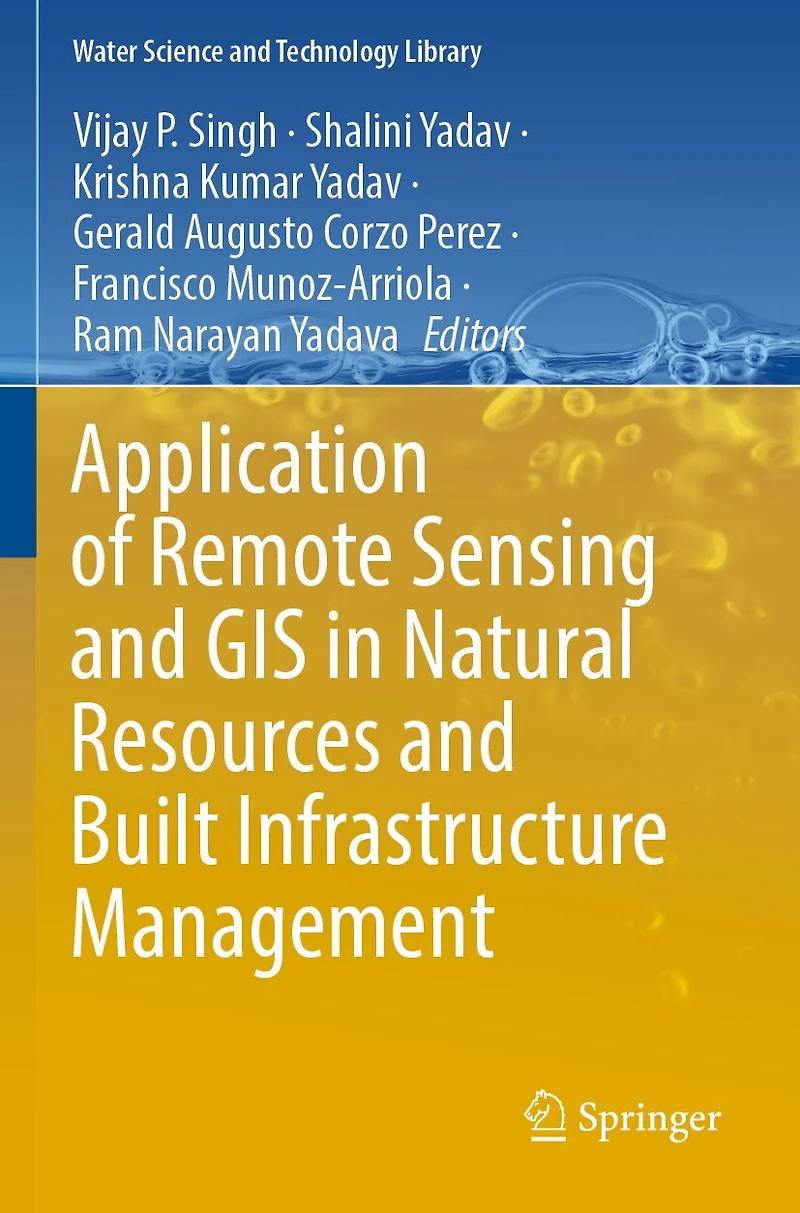
Application of Remote Sensing and GIS in Natural Resources and Built Infrastructure Management
Current price: $248.50

Application of Remote Sensing and GIS in Natural Resources and Built Infrastructure Management
Current price: $248.50
Loading Inventory...
Size: Paperback
*Product information may vary - to confirm product availability, pricing, shipping and return information please contact Indigo
This book discusses the problems in planning, building, and management strategies in the wake of application and expansion of remote sensing and GIS products in natural resources and infrastructure management. The book suggests proactive solutions to problems of natural resources and infrastructure management, providing alternatives for strategic planning, effective delivery, and growth perspectives. The uniqueness of the book is its broader spectrum of coverage with related interconnections and interdependences across science, engineering, and innovation. The book contains information that can be downscaled to the local level. Presenting a wide spectrum of viewpoints and approaches, the book is a collective of topics such as application to agriculture and forestry (land and landscape, agriculture, forestry management and deforestation), water resources and ecology (hydro-meteorological, climate diagnostics, and prognostics, water resources management, environment management, cross-scale ecology and resilience), urban management (urban planning, design, construction and operations of infrastructure, natural disasters, novel approaches to upgrade old infrastructure), hydro informatics, predictive and geospatial data analytics, synthesis, and management through the various processes, tools, and technologies.
This book discusses the problems in planning, building, and management strategies in the wake of application and expansion of remote sensing and GIS products in natural resources and infrastructure management. The book suggests proactive solutions to problems of natural resources and infrastructure management, providing alternatives for strategic planning, effective delivery, and growth perspectives. The uniqueness of the book is its broader spectrum of coverage with related interconnections and interdependences across science, engineering, and innovation. The book contains information that can be downscaled to the local level. Presenting a wide spectrum of viewpoints and approaches, the book is a collective of topics such as application to agriculture and forestry (land and landscape, agriculture, forestry management and deforestation), water resources and ecology (hydro-meteorological, climate diagnostics, and prognostics, water resources management, environment management, cross-scale ecology and resilience), urban management (urban planning, design, construction and operations of infrastructure, natural disasters, novel approaches to upgrade old infrastructure), hydro informatics, predictive and geospatial data analytics, synthesis, and management through the various processes, tools, and technologies.
You May Also Like









More About Indigo at Erin Mills Town Centre
The largest book retailer in Canada also offers toys, music, home décor, gifts and lifestyle products. What's Inside...Books, Magazines, CD’s and DVD’s, Toys and Gifts, Home Accents, Electronics, Baby’s and Children’s Section, Bath and Body, Kitchen and Bedroom, Stationary Located outside in the exterior plaza.
5015 Glen Erin Dr, Mississauga, ON L5M 0R7, Canada
Find Indigo at Erin Mills Town Centre in Mississauga ON
Visit Indigo at Erin Mills Town Centre in Mississauga ON