

GIVE THE PERFECT GIFT
Erin Mills Town Centre Gift Cards are the perfect choice for your gift giving needs.Purchase gift cards at kiosks near the food court or centre court, at Guest Services, or click below to purchase online.PURCHASE HEREHome
Atlas of Remote Sensing the Wenchuan Earthquake
Indigo
Loading Inventory...
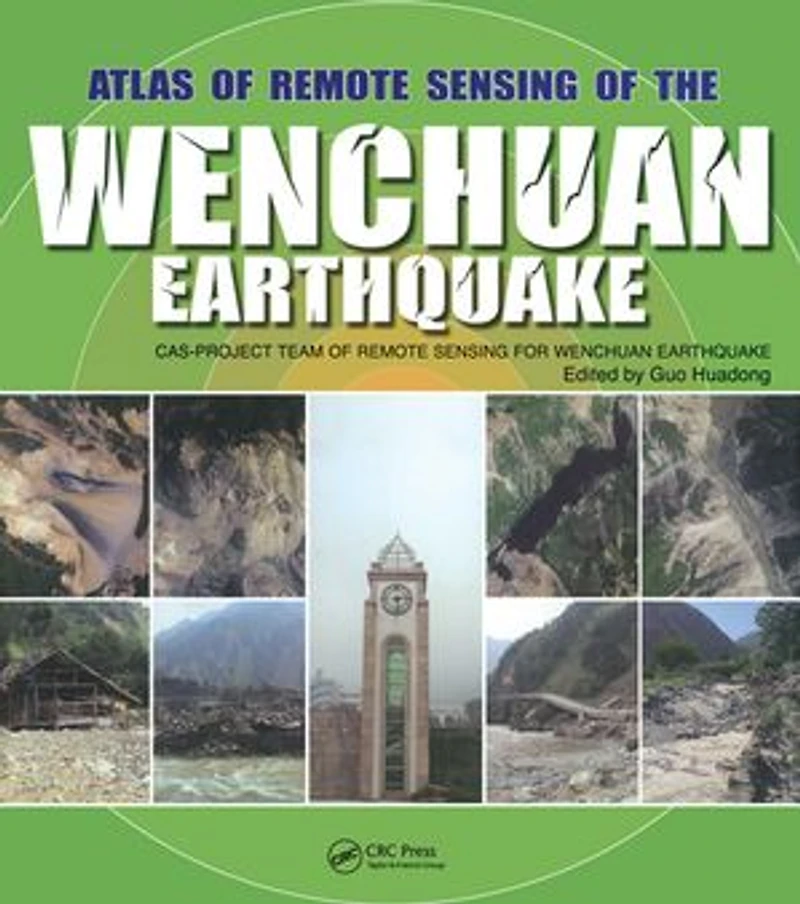

Atlas of Remote Sensing the Wenchuan Earthquake
Current price: $143.85

Atlas of Remote Sensing the Wenchuan Earthquake
Current price: $143.85
Loading Inventory...
Size: Kobo eBook
*Product information may vary - to confirm product availability, pricing, shipping and return information please contact Indigo
In May 12, 2008, the Wenchuan County earthquake caused devastating loss of human life and property. Applying all the remote sensing technology available, the Chinese Academy of Sciences immediately launched into action, making full use of its state-of-the-art facilities, remote sensing planes, and satellites to amass invaluable optical and radar data. This unprecedented use of comprehensive remote sensing techniques provided accurate, up to the minute information for disaster management and has left us with a visually stunning and beautiful record that is as much a scientific achievement as it is an artistic one. Based on the accumulated data and images collected by the Project Team of Remote Sensing Monitoring and Assessment of the Wenchuan Earthquake, Atlas of Remote Sensing of the Wenchuan Earthquake documents the events as they happened in real time. The book covers the disaster from six aspects: geological, barrier lakes, collapsed buildings, damaged roads, destroyed farmland and forests, and demolished infrastructure. It also demonstrates that the Dujiangyan Irrigation Project, which has been standing for 2000 years, remains fully functioning, and keeps the Chengdu Plain operating optimally even after the earthquake. Translated into English for the first time, the Atlas presents a pictorial summation of this unique project. It chronicles the event with over 280 before and after color images from a range of perspectives. This volume dramatically demonstrates the value of remote sensing for understanding how an earthquake unfolds and the potential of remote sensing in helping coordinate emergency relief. A pictorial record of events as they unfolded, this book provides a systematic documentation of earthquake damage that can be used to prepare for future seismic events.
In May 12, 2008, the Wenchuan County earthquake caused devastating loss of human life and property. Applying all the remote sensing technology available, the Chinese Academy of Sciences immediately launched into action, making full use of its state-of-the-art facilities, remote sensing planes, and satellites to amass invaluable optical and radar data. This unprecedented use of comprehensive remote sensing techniques provided accurate, up to the minute information for disaster management and has left us with a visually stunning and beautiful record that is as much a scientific achievement as it is an artistic one. Based on the accumulated data and images collected by the Project Team of Remote Sensing Monitoring and Assessment of the Wenchuan Earthquake, Atlas of Remote Sensing of the Wenchuan Earthquake documents the events as they happened in real time. The book covers the disaster from six aspects: geological, barrier lakes, collapsed buildings, damaged roads, destroyed farmland and forests, and demolished infrastructure. It also demonstrates that the Dujiangyan Irrigation Project, which has been standing for 2000 years, remains fully functioning, and keeps the Chengdu Plain operating optimally even after the earthquake. Translated into English for the first time, the Atlas presents a pictorial summation of this unique project. It chronicles the event with over 280 before and after color images from a range of perspectives. This volume dramatically demonstrates the value of remote sensing for understanding how an earthquake unfolds and the potential of remote sensing in helping coordinate emergency relief. A pictorial record of events as they unfolded, this book provides a systematic documentation of earthquake damage that can be used to prepare for future seismic events.
You May Also Like








More About Indigo at Erin Mills Town Centre
The largest book retailer in Canada also offers toys, music, home décor, gifts and lifestyle products. What's Inside...Books, Magazines, CD’s and DVD’s, Toys and Gifts, Home Accents, Electronics, Baby’s and Children’s Section, Bath and Body, Kitchen and Bedroom, Stationary Located outside in the exterior plaza.
5015 Glen Erin Dr, Mississauga, ON L5M 0R7, Canada
Find Indigo at Erin Mills Town Centre in Mississauga ON
Visit Indigo at Erin Mills Town Centre in Mississauga ON