GIVE THE PERFECT GIFT
Erin Mills Town Centre Gift Cards are the perfect choice for your gift giving needs.Purchase gift cards at kiosks near the food court or centre court, at Guest Services, or click below to purchase online.PURCHASE HEREHome
Birmingham A-Z Street Atlas by A-Z Maps, Perfect | Indigo Chapters
Indigo
Loading Inventory...
Birmingham A-Z Street Atlas by A-Z Maps, Perfect | Indigo Chapters
By A-Z Maps
Current price: $17.99

By A-Z Maps
Birmingham A-Z Street Atlas by A-Z Maps, Perfect | Indigo Chapters
Current price: $17.99
Loading Inventory...
Size: 9 x 215 x 200
*Product information may vary - to confirm product availability, pricing, shipping and return information please contact Indigo
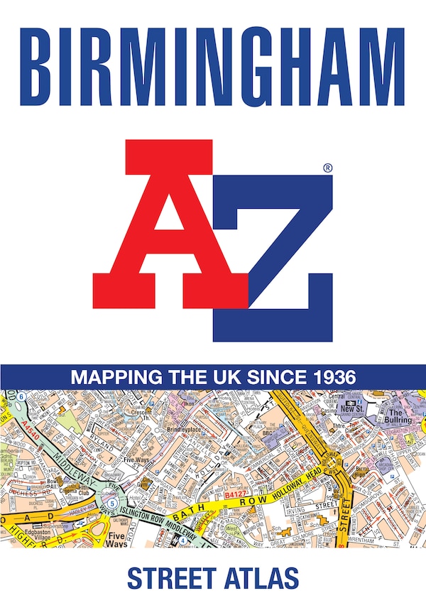
Navigate your way around Birmingham with this detailed and easy-to-use A-Z Street Atlas. Printed in full-colour, paperback format, this atlas contains 96 pages of continuous street mapping. Coverage extends to include: Wednesbury, Coleshill, Knowle, Alvechurch, Rubery, Smethick, and West Bromwich. There are large scale city centre maps of Birmingham and Wolverhampton and a West Midlands rail and Midland Metro transport connections map. Postcode districts and one-way streets are featured on the mapping. The index section lists streets; selected flats, walkways and places of interest; place and area names; National Rail and Midland Metro stations; hospitals, NHS Walk-in Centres and hospices. | Birmingham A-Z Street Atlas by A-Z Maps, Perfect | Indigo Chapters
Navigate your way around Birmingham with this detailed and easy-to-use A-Z Street Atlas. Printed in full-colour, paperback format, this atlas contains 96 pages of continuous street mapping. Coverage extends to include: Wednesbury, Coleshill, Knowle, Alvechurch, Rubery, Smethick, and West Bromwich. There are large scale city centre maps of Birmingham and Wolverhampton and a West Midlands rail and Midland Metro transport connections map. Postcode districts and one-way streets are featured on the mapping. The index section lists streets; selected flats, walkways and places of interest; place and area names; National Rail and Midland Metro stations; hospitals, NHS Walk-in Centres and hospices. | Birmingham A-Z Street Atlas by A-Z Maps, Perfect | Indigo Chapters