GIVE THE PERFECT GIFT
Erin Mills Town Centre Gift Cards are the perfect choice for your gift giving needs.Purchase gift cards at kiosks near the food court or centre court, at Guest Services, or click below to purchase online.PURCHASE HEREHome
Bournemouth A-Z Street Atlas by A-Z Maps, Perfect | Indigo Chapters
Indigo
Loading Inventory...

Bournemouth A-Z Street Atlas by A-Z Maps, Perfect | Indigo Chapters
By A-Z Maps
Current price: $17.99

By A-Z Maps
Bournemouth A-Z Street Atlas by A-Z Maps, Perfect | Indigo Chapters
Current price: $17.99
Loading Inventory...
Size: 11 x 215 x 150
*Product information may vary - to confirm product availability, pricing, shipping and return information please contact Indigo
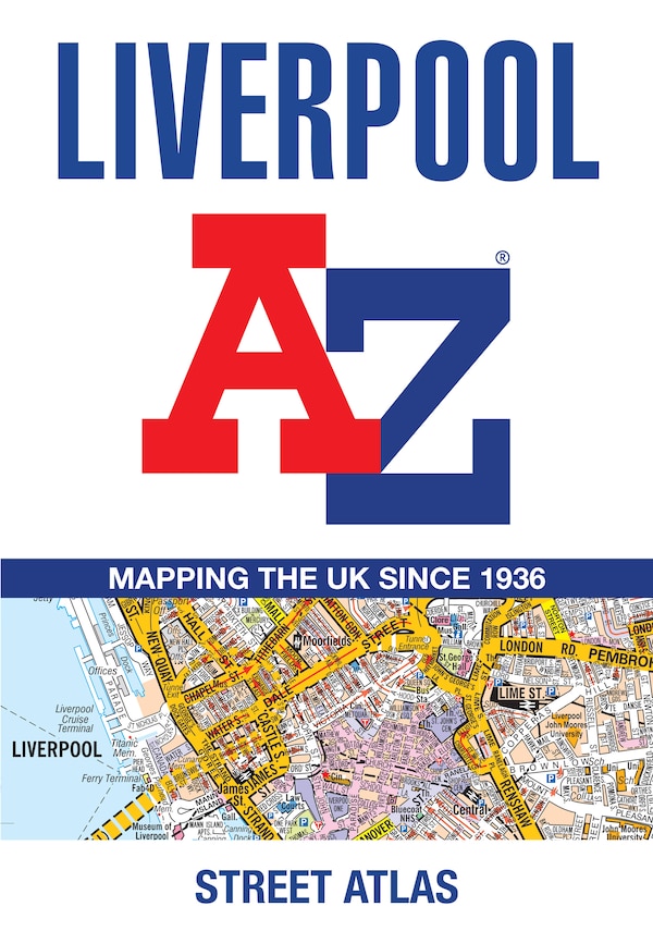
Navigate your way around Bournemouth with this detailed and easy-to-use A-Z Street Atlas. Printed in full-colour, paperback format, this atlas contains 63 pages of continuous street mapping in a NEW A5 format for ease of use. Coverage includes: Poole, Christchurch, Ringwood, Wimborne Minster, Ferndown, Bournemouth Airport, Barton on Sea, Milford on Sea, Lymington. In addition, there are separate coverages of Verwood, Lyndhurst and Brockenhurst, two large scale town centre maps of Bournemouth and Poole. Postcode districts, one-way streets, park and ride sites and the New Forest National Park boundary are also featured on the mapping. The index section lists streets, selected flats, walkways and places of interest, place, area and station names, hospitals and hospices covered by this atlas. | Bournemouth A-Z Street Atlas by A-Z Maps, Perfect | Indigo Chapters
Navigate your way around Bournemouth with this detailed and easy-to-use A-Z Street Atlas. Printed in full-colour, paperback format, this atlas contains 63 pages of continuous street mapping in a NEW A5 format for ease of use. Coverage includes: Poole, Christchurch, Ringwood, Wimborne Minster, Ferndown, Bournemouth Airport, Barton on Sea, Milford on Sea, Lymington. In addition, there are separate coverages of Verwood, Lyndhurst and Brockenhurst, two large scale town centre maps of Bournemouth and Poole. Postcode districts, one-way streets, park and ride sites and the New Forest National Park boundary are also featured on the mapping. The index section lists streets, selected flats, walkways and places of interest, place, area and station names, hospitals and hospices covered by this atlas. | Bournemouth A-Z Street Atlas by A-Z Maps, Perfect | Indigo Chapters