Home
Brighton and Worthing A-Z Street Atlas by A-z Maps, Perfect | Indigo Chapters
Indigo
Loading Inventory...
Brighton and Worthing A-Z Street Atlas by A-z Maps, Perfect | Indigo Chapters
From A-z Maps
Current price: $17.99
From A-z Maps
Brighton and Worthing A-Z Street Atlas by A-z Maps, Perfect | Indigo Chapters
Current price: $17.99
Loading Inventory...
Size: 4 x 215 x 100
*Product information may vary - to confirm product availability, pricing, shipping and return information please contact Indigo
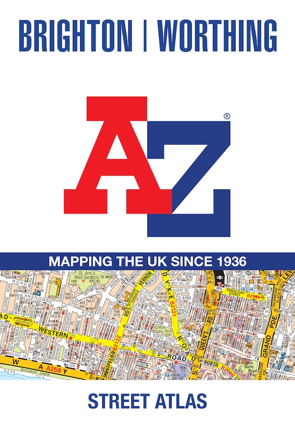
Navigate your way around Brighton and Worthing with this detailed and easy-to-use A-Z Street Atlas. Printed in full-colour, paperback format, this atlas contains 41 pages of continuous street mapping. The main mapping extends to Hove, Newhaven, Shoreham-by-Sea at a scale of 4 inches to 1 mile, featuring postcode districts, one-way streets, park and ride sites, and safety camera locations. Areas covered include:• Findon• Durrington• Goring-by-Sea• Lancing• Southwick• Patcham• Falmer• Woodingdean• Saltdean• Rottingdean• Peacehaven Separate coverage of Lewes, Seaford, Steyning, Bramber and Upper Beeding is provided. The large-scale street map of Brighton city centre – at a scale of 8 inches to 1 mile – includes:• Postcode map of the Brighton area• Road map of the Brighton area A comprehensive index lists streets, selected flats, walkways and places of interest, place, area and station names. Additional healthcare (hospitals, walk-in centres and hospices) are indexed as well. | Brighton and Worthing A-Z Street Atlas by A-z Maps, Perfect | Indigo Chapters
Navigate your way around Brighton and Worthing with this detailed and easy-to-use A-Z Street Atlas. Printed in full-colour, paperback format, this atlas contains 41 pages of continuous street mapping. The main mapping extends to Hove, Newhaven, Shoreham-by-Sea at a scale of 4 inches to 1 mile, featuring postcode districts, one-way streets, park and ride sites, and safety camera locations. Areas covered include:• Findon• Durrington• Goring-by-Sea• Lancing• Southwick• Patcham• Falmer• Woodingdean• Saltdean• Rottingdean• Peacehaven Separate coverage of Lewes, Seaford, Steyning, Bramber and Upper Beeding is provided. The large-scale street map of Brighton city centre – at a scale of 8 inches to 1 mile – includes:• Postcode map of the Brighton area• Road map of the Brighton area A comprehensive index lists streets, selected flats, walkways and places of interest, place, area and station names. Additional healthcare (hospitals, walk-in centres and hospices) are indexed as well. | Brighton and Worthing A-Z Street Atlas by A-z Maps, Perfect | Indigo Chapters