

GIVE THE PERFECT GIFT
Erin Mills Town Centre Gift Cards are the perfect choice for your gift giving needs.Purchase gift cards at kiosks near the food court or centre court, at Guest Services, or click below to purchase online.PURCHASE HEREHome
Concepts and Techniques of Geographic Information Systems
Indigo
Loading Inventory...
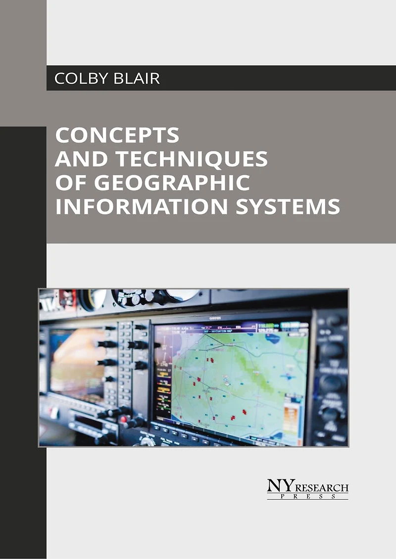
Concepts and Techniques of Geographic Information Systems
Current price: $218.04

Concepts and Techniques of Geographic Information Systems
Current price: $218.04
Loading Inventory...
Size: Hardcover
*Product information may vary - to confirm product availability, pricing, shipping and return information please contact Indigo
A Geographic Information System (GIS) is a sophisticated technology designed to capture, analyze, store, and manipulate spatial or geographic data. GIS enables the editing of map data, conducting interactive queries, and performing in-depth spatial analysis, supporting location-based services that rely on effective visualization and data interpretation. These capabilities are widely applied across various sectors, including environmental science, engineering, defense, sustainable development, transportation, climatology, and telecommunications. GIS is integral to functions such as data analysis, hydrological modeling, topological modeling, and cartography. The book aims to shed light on some of the unexplored aspects of geographic information systems. While understanding the long-term perspectives of the topics, the book makes an effort in highlighting their impact as a modern tool for the growth of the discipline. It aims to serve as a resource guide for students and experts alike and contribute to the growth of the discipline.
A Geographic Information System (GIS) is a sophisticated technology designed to capture, analyze, store, and manipulate spatial or geographic data. GIS enables the editing of map data, conducting interactive queries, and performing in-depth spatial analysis, supporting location-based services that rely on effective visualization and data interpretation. These capabilities are widely applied across various sectors, including environmental science, engineering, defense, sustainable development, transportation, climatology, and telecommunications. GIS is integral to functions such as data analysis, hydrological modeling, topological modeling, and cartography. The book aims to shed light on some of the unexplored aspects of geographic information systems. While understanding the long-term perspectives of the topics, the book makes an effort in highlighting their impact as a modern tool for the growth of the discipline. It aims to serve as a resource guide for students and experts alike and contribute to the growth of the discipline.
You May Also Like









More About Indigo at Erin Mills Town Centre
The largest book retailer in Canada also offers toys, music, home décor, gifts and lifestyle products. What's Inside...Books, Magazines, CD’s and DVD’s, Toys and Gifts, Home Accents, Electronics, Baby’s and Children’s Section, Bath and Body, Kitchen and Bedroom, Stationary Located outside in the exterior plaza.
5015 Glen Erin Dr, Mississauga, ON L5M 0R7, Canada
Find Indigo at Erin Mills Town Centre in Mississauga ON
Visit Indigo at Erin Mills Town Centre in Mississauga ON