

GIVE THE PERFECT GIFT
Erin Mills Town Centre Gift Cards are the perfect choice for your gift giving needs.Purchase gift cards at kiosks near the food court or centre court, at Guest Services, or click below to purchase online.PURCHASE HEREHome
Geographic Information Science And Systems
Indigo
Loading Inventory...
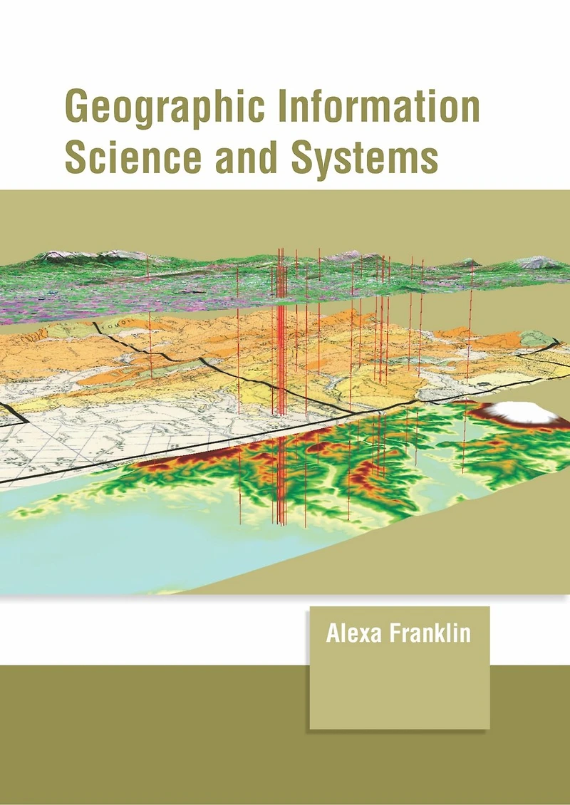
Geographic Information Science And Systems
Current price: $198.10

Geographic Information Science And Systems
Current price: $198.10
Loading Inventory...
Size: Hardcover
*Product information may vary - to confirm product availability, pricing, shipping and return information please contact Indigo
Geographic information system is the system that is specifically designed to capture, store, analyze, manage and present spatial and geographical data. GIS applications function as tools which allow users to create interactive queries, edit data in maps, analyze spatial information and present the results of such operations. The science underlying the geographic concepts, applications and systems is termed as geographic information science. Modern GIS technologies make use of digital information, which is obtained through various digitized data creation methods. The most common method of data creation is digitization in which a hard copy map is transferred into a digital medium by a CAD program and geo-referencing capabilities. This book provides comprehensive insights into the field of geographic information system. Most of the topics introduced herein cover new techniques and the applications of this field. For someone with an interest and eye for detail, this book covers the most significant topics in this area.
Geographic information system is the system that is specifically designed to capture, store, analyze, manage and present spatial and geographical data. GIS applications function as tools which allow users to create interactive queries, edit data in maps, analyze spatial information and present the results of such operations. The science underlying the geographic concepts, applications and systems is termed as geographic information science. Modern GIS technologies make use of digital information, which is obtained through various digitized data creation methods. The most common method of data creation is digitization in which a hard copy map is transferred into a digital medium by a CAD program and geo-referencing capabilities. This book provides comprehensive insights into the field of geographic information system. Most of the topics introduced herein cover new techniques and the applications of this field. For someone with an interest and eye for detail, this book covers the most significant topics in this area.
You May Also Like







More About Indigo at Erin Mills Town Centre
The largest book retailer in Canada also offers toys, music, home décor, gifts and lifestyle products. What's Inside...Books, Magazines, CD’s and DVD’s, Toys and Gifts, Home Accents, Electronics, Baby’s and Children’s Section, Bath and Body, Kitchen and Bedroom, Stationary Located outside in the exterior plaza.
5015 Glen Erin Dr, Mississauga, ON L5M 0R7, Canada
Find Indigo at Erin Mills Town Centre in Mississauga ON
Visit Indigo at Erin Mills Town Centre in Mississauga ON