Home
Great Britain A-Z Super Scale Road Atlas (A3 Spiral) by A-z Maps
Indigo
Loading Inventory...

Great Britain A-Z Super Scale Road Atlas (A3 Spiral) by A-z Maps
From A-z Maps
Current price: $27.99
From A-z Maps
Great Britain A-Z Super Scale Road Atlas (A3 Spiral) by A-z Maps
Current price: $27.99
Loading Inventory...
Size: 12 x 379 x 1260
*Product information may vary - to confirm product availability, pricing, shipping and return information please contact Indigo
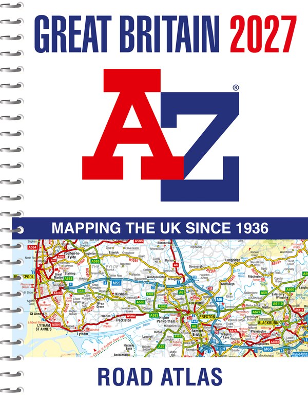
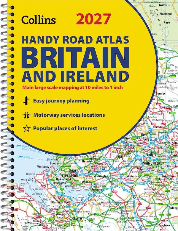
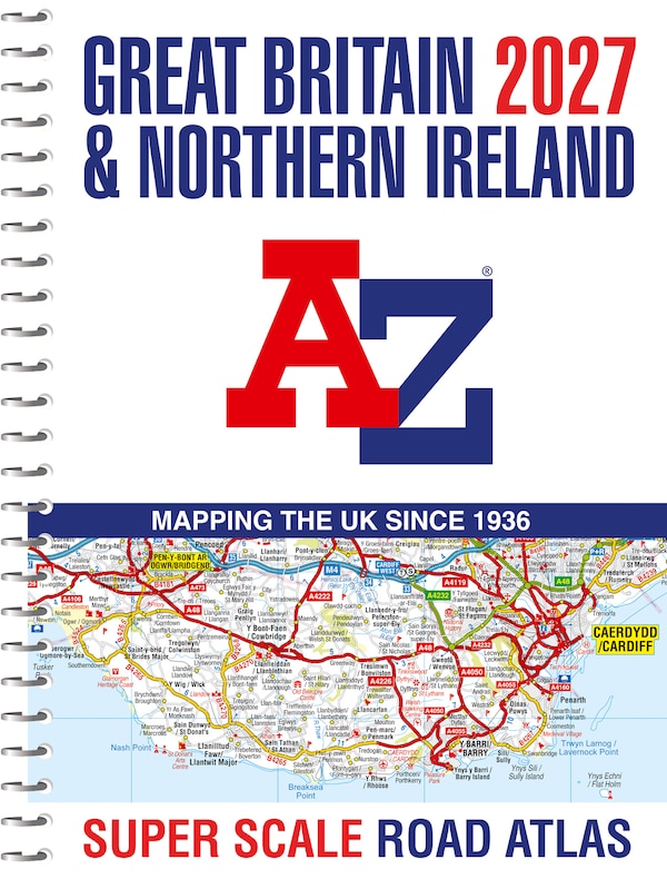
Navigate your way around Great Britain with this detailed and easy-to-use A-Z Road Atlas An easy-read, spiral bound road atlas, now fully revised and updated. Clear detailed road mapping at a mainland map scale of 2.5 miles to 1 inch. This big, easy to read map is published in a large A3 format. This large format road atlas includes:• 11 pages of main route mapping covering Greater London, Birmingham and Manchester• Route planning map• Mileage chart with average journey times• Information on motorway junctions with limited interchanges• 70 city and town centre street plans• 16 port and airport plans• Channel Tunnel terminus maps• Index to cities, towns, villages, hamlets, major destinations and selected places of interest with postcodes for sat-nav use• Map reference information also in French and German Instantly recognisable and easy to use, A-Z road mapping includes the following features: clear standard road classification colours for easy identification, full motorway junction detail, under construction and proposed roads, primary route destinations, service areas, selected truck stop locations, national and county boundaries and a wide range of tourist and ancillary information, including Blue Flag Beaches. A combination of a great map scale, large book size and a spiral binding makes this a popular choice for those wanting superb map clarity. | Great Britain A-Z Super Scale Road Atlas 2026 (A3 Spiral) by A-z Maps, Spiral Bound | Indigo Chapters
Navigate your way around Great Britain with this detailed and easy-to-use A-Z Road Atlas An easy-read, spiral bound road atlas, now fully revised and updated. Clear detailed road mapping at a mainland map scale of 2.5 miles to 1 inch. This big, easy to read map is published in a large A3 format. This large format road atlas includes:• 11 pages of main route mapping covering Greater London, Birmingham and Manchester• Route planning map• Mileage chart with average journey times• Information on motorway junctions with limited interchanges• 70 city and town centre street plans• 16 port and airport plans• Channel Tunnel terminus maps• Index to cities, towns, villages, hamlets, major destinations and selected places of interest with postcodes for sat-nav use• Map reference information also in French and German Instantly recognisable and easy to use, A-Z road mapping includes the following features: clear standard road classification colours for easy identification, full motorway junction detail, under construction and proposed roads, primary route destinations, service areas, selected truck stop locations, national and county boundaries and a wide range of tourist and ancillary information, including Blue Flag Beaches. A combination of a great map scale, large book size and a spiral binding makes this a popular choice for those wanting superb map clarity. | Great Britain A-Z Super Scale Road Atlas 2026 (A3 Spiral) by A-z Maps, Spiral Bound | Indigo Chapters