
GIVE THE PERFECT GIFT
Erin Mills Town Centre Gift Cards are the perfect choice for your gift giving needs.Purchase gift cards at kiosks near the food court or centre court, at Guest Services, or click below to purchase online.PURCHASE HEREHome
Helicopter Electromagnetic and Magnetic Geophysical Survey Data, Portions of the North Platte and South Platte Natural Resources Districts, Western Nebraska, May 2009
Indigo
Loading Inventory...
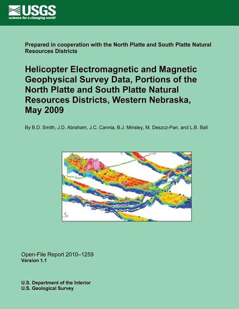
Helicopter Electromagnetic and Magnetic Geophysical Survey Data, Portions of the North Platte and South Platte Natural Resources Districts, Western Nebraska, May 2009
Current price: $16.95

Helicopter Electromagnetic and Magnetic Geophysical Survey Data, Portions of the North Platte and South Platte Natural Resources Districts, Western Nebraska, May 2009
Current price: $16.95
Loading Inventory...
Size: Paperback
*Product information may vary - to confirm product availability, pricing, shipping and return information please contact Indigo
This report is a release of digital data from a helicopter electromagnetic and magnetic survey that was conducted during June 2009 in areas of western Nebraska as part of a joint hydrologic study by the North Platte Natural Resources District (NRD), South Platte NRD, and U.S. Geological Survey (USGS). Flight lines for the survey totaled 937 line kilometers (582 line miles). The objective of the contracted survey, conducted by Fugro Airborne, Ltd., is to improve the understanding of the relation between surface-water and groundwater systems critical to developing groundwater models used in management programs for water resources. A unique aspect of the survey is the flight line layout.
This report is a release of digital data from a helicopter electromagnetic and magnetic survey that was conducted during June 2009 in areas of western Nebraska as part of a joint hydrologic study by the North Platte Natural Resources District (NRD), South Platte NRD, and U.S. Geological Survey (USGS). Flight lines for the survey totaled 937 line kilometers (582 line miles). The objective of the contracted survey, conducted by Fugro Airborne, Ltd., is to improve the understanding of the relation between surface-water and groundwater systems critical to developing groundwater models used in management programs for water resources. A unique aspect of the survey is the flight line layout.
You May Also Like
















More About Indigo at Erin Mills Town Centre
The largest book retailer in Canada also offers toys, music, home décor, gifts and lifestyle products. What's Inside...Books, Magazines, CD’s and DVD’s, Toys and Gifts, Home Accents, Electronics, Baby’s and Children’s Section, Bath and Body, Kitchen and Bedroom, Stationary Located outside in the exterior plaza.
5015 Glen Erin Dr, Mississauga, ON L5M 0R7, Canada
Find Indigo at Erin Mills Town Centre in Mississauga ON
Visit Indigo at Erin Mills Town Centre in Mississauga ON