GIVE THE PERFECT GIFT
Erin Mills Town Centre Gift Cards are the perfect choice for your gift giving needs.Purchase gift cards at kiosks near the food court or centre court, at Guest Services, or click below to purchase online.PURCHASE HEREHome
Manitoba Folded Map
Indigo
Loading Inventory...

Manitoba Folded Map
By None
Current price: $7.95

By None
Manitoba Folded Map
Current price: $7.95
Loading Inventory...
Size: Map
*Product information may vary - to confirm product availability, pricing, shipping and return information please contact Indigo
Folded maps have been the trusted standard for years, offering unbeatable accuracy and reliability at a great price. Detailed indices make for quick and easy location of destinations. It’s a must-have for anyone travelling in the province of Manitoba.
The Manitoba folded map includes a detailed provincial road map of Manitoba at 1:1,250,000 including a community index and legend, downtown maps of Winnipeg and Brandon at 1:25,000, regional map of Winnipeg at 1:250,000, Northwest Ontario map at 1:1,725,000, Manitoba distance chart and municipal maps at 1:50,000 of Dauphin, Flin Flon, Gimli, Morden, Selkirk, Steinbach, The Pas, Thompson, Winkler and municipal maps at 1:100,000 of Brandon, Portage la Prairie.
The detailed provincial mapping features include the Trans-Canada highway, Yellowhead Route, divided highway, paved and loose surface major roads, paved and loose surface secondary roads, paved and loose surface other roads, unimproved/forestry roads, seasonal roads, ferries, railways, distances between points (km), populated places, capitals, national parks, national historic sites, provincial parks, campgrounds, wilderness/protected areas, forest reserves, Indian reserves / First Nations, border crossings, visitor information centres, rest areas, hospitals, points of interest, ski areas, airports, mines and more.
Dimensions: Folded: 10.2 x 23.5 cm (4 x 9.25 inches) Unfolded: 68.6 x 99.7 cm (27 x 39.25 inches)
Proudly made in Canada!
Provinces/Territories: Manitoba
You May Also Like


Loading Inventory...
Loading Inventory...
None
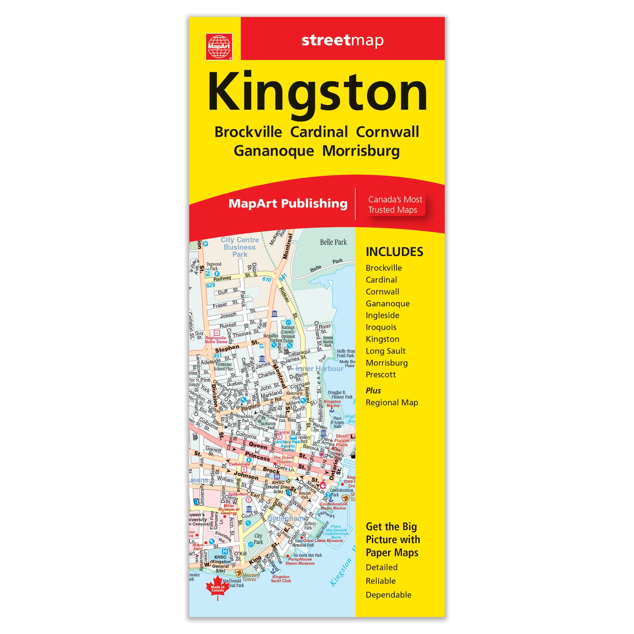
Kingston Folded Map
Current price: $5.95
From Indigo Books


Loading Inventory...
Loading Inventory...
None
Kamloops Folded Map
Current price: $5.95
From Indigo Books