
GIVE THE PERFECT GIFT
Erin Mills Town Centre Gift Cards are the perfect choice for your gift giving needs.Purchase gift cards at kiosks near the food court or centre court, at Guest Services, or click below to purchase online.PURCHASE HEREHome
Mapping and Spatial Modelling for Navigation
Indigo
Loading Inventory...
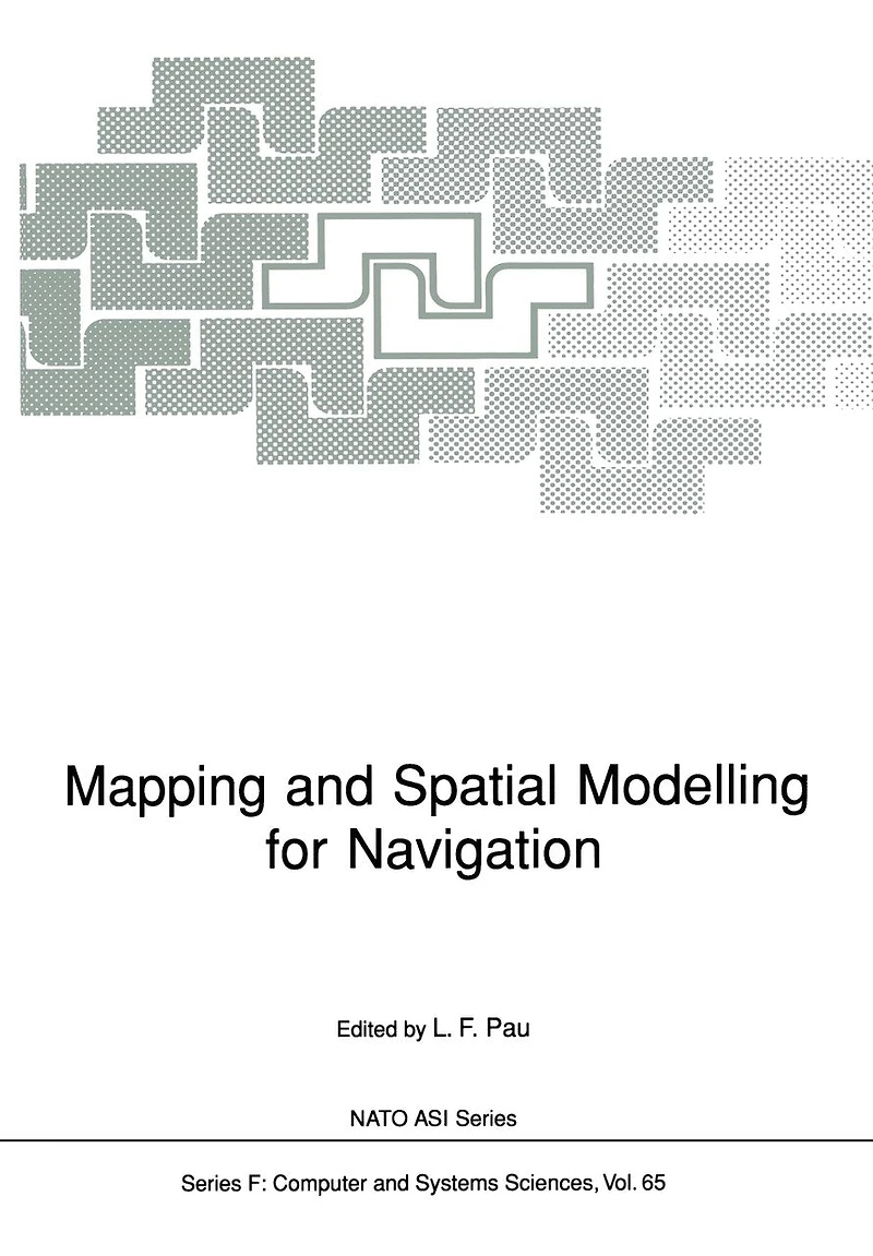
Mapping and Spatial Modelling for Navigation
Current price: $160.95

Mapping and Spatial Modelling for Navigation
Current price: $160.95
Loading Inventory...
Size: Paperback
*Product information may vary - to confirm product availability, pricing, shipping and return information please contact Indigo
The successful implementation of applications in spatial reasoning requires paying attention to the representation of spatial data. In particular, an integrated and uniform treatment of different spatial features is necessary in order to enable the reasoning to proceed quickly. Currently, the most prevalent features are points, rectangles, lines, regions, surfaces, and volumes. As an example of a reasoning task consider a query of the form "find all cities with population in excess of 5,000 in wheat growing regions within 10 miles of the Mississippi River. " Note that this query is quite complex. It requires- processing a line map (for the river), creating a corridor or buffer (to find the area within 10 miles of the river), a region map (for the wheat), and a point map (for the cities). Spatial reasoning is eased by spatially sorting the data (i. e. , a spatial index). In this paper we show how hierarchical data structures can be used to facilitate this process. They are based on the principle of recursive decomposition (similar to divide and conquer methods). In essence, they are used primarily as devices to sort data of more than one dimension and different spatial types. The term quadtree is often used to describe this class of data structures. In this paper, we focus on recent developments in the use of quadtree methods. We concentrate primarily on region data. For a more extensive treatment of this subject, see [SameS4a, SameSSa, SameSSb, SameSSc, SameSga, SameSgbj.
The successful implementation of applications in spatial reasoning requires paying attention to the representation of spatial data. In particular, an integrated and uniform treatment of different spatial features is necessary in order to enable the reasoning to proceed quickly. Currently, the most prevalent features are points, rectangles, lines, regions, surfaces, and volumes. As an example of a reasoning task consider a query of the form "find all cities with population in excess of 5,000 in wheat growing regions within 10 miles of the Mississippi River. " Note that this query is quite complex. It requires- processing a line map (for the river), creating a corridor or buffer (to find the area within 10 miles of the river), a region map (for the wheat), and a point map (for the cities). Spatial reasoning is eased by spatially sorting the data (i. e. , a spatial index). In this paper we show how hierarchical data structures can be used to facilitate this process. They are based on the principle of recursive decomposition (similar to divide and conquer methods). In essence, they are used primarily as devices to sort data of more than one dimension and different spatial types. The term quadtree is often used to describe this class of data structures. In this paper, we focus on recent developments in the use of quadtree methods. We concentrate primarily on region data. For a more extensive treatment of this subject, see [SameS4a, SameSSa, SameSSb, SameSSc, SameSga, SameSgbj.
You May Also Like







More About Indigo at Erin Mills Town Centre
The largest book retailer in Canada also offers toys, music, home décor, gifts and lifestyle products. What's Inside...Books, Magazines, CD’s and DVD’s, Toys and Gifts, Home Accents, Electronics, Baby’s and Children’s Section, Bath and Body, Kitchen and Bedroom, Stationary Located outside in the exterior plaza.
5015 Glen Erin Dr, Mississauga, ON L5M 0R7, Canada
Find Indigo at Erin Mills Town Centre in Mississauga ON
Visit Indigo at Erin Mills Town Centre in Mississauga ON