

GIVE THE PERFECT GIFT
Erin Mills Town Centre Gift Cards are the perfect choice for your gift giving needs.Purchase gift cards at kiosks near the food court or centre court, at Guest Services, or click below to purchase online.PURCHASE HEREHome
Remote Sensing Techniques for Landslides Studies and Their Hazards Assessment
Indigo
Loading Inventory...
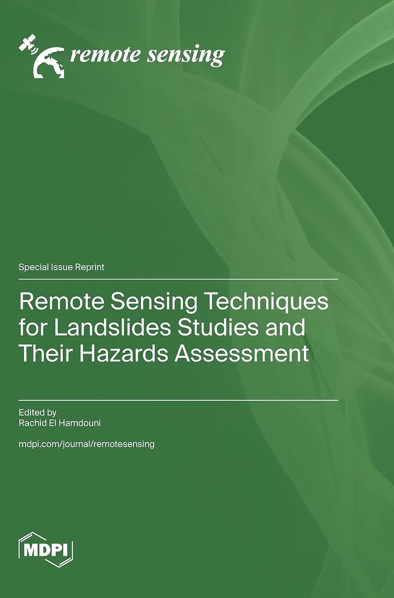
Remote Sensing Techniques for Landslides Studies and Their Hazards Assessment
Current price: $145.86

Remote Sensing Techniques for Landslides Studies and Their Hazards Assessment
Current price: $145.86
Loading Inventory...
Size: Hardcover
*Product information may vary - to confirm product availability, pricing, shipping and return information please contact Indigo
Landslides can cause extensive property damage and human casualties and thus influence socio-economic conditions in many countries. In recent decades, there has been a significant increase in the frequency of landslides related to climate change and the expansion of urbanized areas. The level of risk from landslides depends, among other things, on the distribution and typology of these processes and the temporal probability of these processes affecting a unit of land. Therefore, spatial mapping of these processes and knowing their frequency or temporal reactivation would provide valuable information to help us predict the hazard of these geological processes and thus evaluate the associated risks in certain areas. While it is possible to conduct landslide studies by direct ground observation, data collection in inaccessible and extensive land is time-consuming and expensive and can sometimes be very difficult. Remote sensing images (aerial, satellite, or terrestrial) are increasingly used in different landslide investigations, thus allowing the spatial and multi-temporal mapping of these processes, offering detailed monitoring of changes in the ground surface, and allowing data to obtain factors to be used in the assessment of landslide hazards. This Special Issue includes research papers with studies covering different applications of remote sensing in landslide investigations: Identification and inventory of landslides, Monitoring of landslide activity, and Spatial and temporal analysis of different factors to assess landslide hazard mapping.
Landslides can cause extensive property damage and human casualties and thus influence socio-economic conditions in many countries. In recent decades, there has been a significant increase in the frequency of landslides related to climate change and the expansion of urbanized areas. The level of risk from landslides depends, among other things, on the distribution and typology of these processes and the temporal probability of these processes affecting a unit of land. Therefore, spatial mapping of these processes and knowing their frequency or temporal reactivation would provide valuable information to help us predict the hazard of these geological processes and thus evaluate the associated risks in certain areas. While it is possible to conduct landslide studies by direct ground observation, data collection in inaccessible and extensive land is time-consuming and expensive and can sometimes be very difficult. Remote sensing images (aerial, satellite, or terrestrial) are increasingly used in different landslide investigations, thus allowing the spatial and multi-temporal mapping of these processes, offering detailed monitoring of changes in the ground surface, and allowing data to obtain factors to be used in the assessment of landslide hazards. This Special Issue includes research papers with studies covering different applications of remote sensing in landslide investigations: Identification and inventory of landslides, Monitoring of landslide activity, and Spatial and temporal analysis of different factors to assess landslide hazard mapping.
You May Also Like










More About Indigo at Erin Mills Town Centre
The largest book retailer in Canada also offers toys, music, home décor, gifts and lifestyle products. What's Inside...Books, Magazines, CD’s and DVD’s, Toys and Gifts, Home Accents, Electronics, Baby’s and Children’s Section, Bath and Body, Kitchen and Bedroom, Stationary Located outside in the exterior plaza.
5015 Glen Erin Dr, Mississauga, ON L5M 0R7, Canada
Find Indigo at Erin Mills Town Centre in Mississauga ON
Visit Indigo at Erin Mills Town Centre in Mississauga ON