GIVE THE PERFECT GIFT
Erin Mills Town Centre Gift Cards are the perfect choice for your gift giving needs.Purchase gift cards at kiosks near the food court or centre court, at Guest Services, or click below to purchase online.PURCHASE HEREHome
South Central Ontario Back Roads Folded Map
Indigo
Loading Inventory...

South Central Ontario Back Roads Folded Map
By None
Current price: $5.95

By None
South Central Ontario Back Roads Folded Map
Current price: $5.95
Loading Inventory...
Size: Map
*Product information may vary - to confirm product availability, pricing, shipping and return information please contact Indigo
Folded maps have been the trusted standard for years, offering unbeatable accuracy and reliability at a great price. Detailed indices make for quick and easy location of destinations.
The folded map of South Central Ontario contains regional back road mapping at 1:250,000, a regional map legend, a community index and a road index. Also included are downtown focused city maps at 1:25,000 including Barrie, Brantford, Burlington, Cambridge, Fort Erie, Guelph, Hamilton, Kitchener/Waterloo, Niagara Falls, Orillia, Oshawa, St. Catharines and Toronto.
Regional map features include expressways, toll routes, exit numbers, highways, county/regional roads, paved and unpaved roads, unimproved roads, gravel roads, service centres, toll bridges, airports, VIA Rail stations, GO Train stations, locks, lock numbers, ferries, railways, OPP, tourist information centres, hospitals, lookouts/viewpoints, rest areas, campgrounds, skiing, hiking, golf, boat launches, marinas, wharfs, lighthouses, UNESCO World Heritage sites, National Historic sites, bird sanctuaries, bird watching, beaches, points of interest, sugar shacks, customs, boundaries, national parks, provincial parks, greenbelts, protected areas, conservation areas, Indian reserves, National Defence, rapids, mines, peaks, waterfalls and more.
Dimensions: Folded: 10.2 x 23.5 cm (4 x 9.25 inches) Unfolded: 68.6 x 99.7 cm (27 x 39.25 inches)
Proudly made in Canada!
Provinces/Territories: Ontario
You May Also Like


Loading Inventory...
Loading Inventory...
None
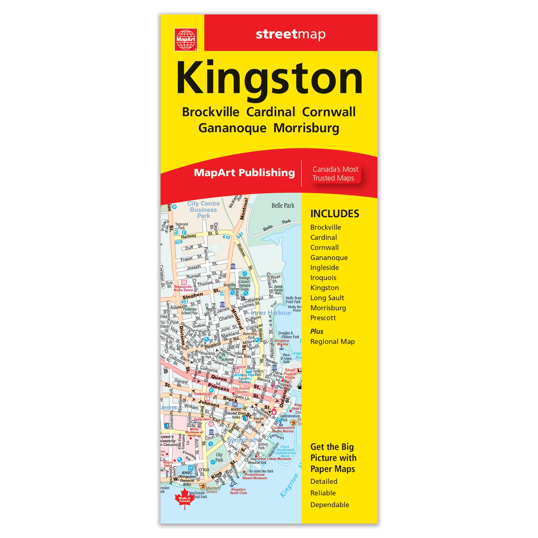
Kingston Folded Map
Current price: $5.95
From Indigo Books


Loading Inventory...
Loading Inventory...
None
Kamloops Folded Map
Current price: $5.95
From Indigo Books