GIVE THE PERFECT GIFT
Erin Mills Town Centre Gift Cards are the perfect choice for your gift giving needs.Purchase gift cards at kiosks near the food court or centre court, at Guest Services, or click below to purchase online.PURCHASE HEREHome
Big London A-Z Street Atlas by A-Z Maps, Spiral Bound | Indigo Chapters
Indigo
Loading Inventory...

Big London A-Z Street Atlas by A-Z Maps, Spiral Bound | Indigo Chapters
By A-Z Maps
Current price: $22.99

By A-Z Maps
Big London A-Z Street Atlas by A-Z Maps, Spiral Bound | Indigo Chapters
Current price: $22.99
Loading Inventory...
Size: 18 x 285 x 840
*Product information may vary - to confirm product availability, pricing, shipping and return information please contact Indigo
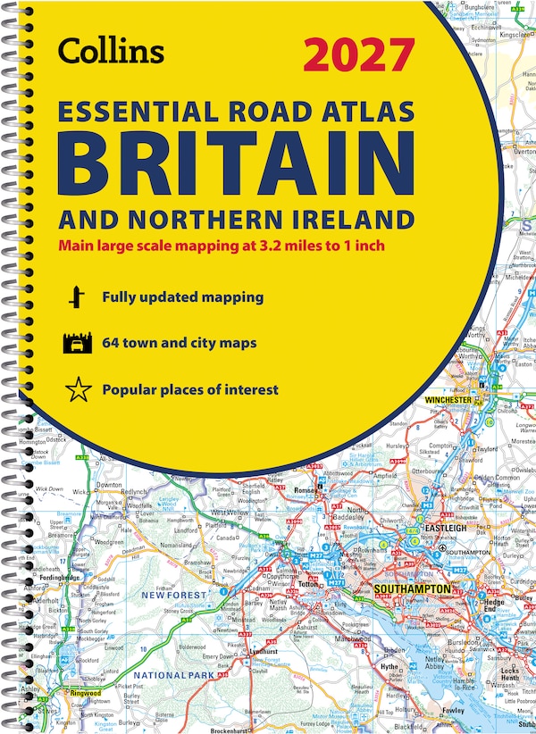
Navigate your way around London with this detailed, easy-to-use and up-to-date A-Z Street Atlas. Large scale A-Z street mapping of London. This A4 street atlas offers the perfect combination of coverage and clarity, the area covered ranges from Heathrow Airport all the way to Chingford at a scale of 4.25 inches to 1 mile (6.71 cm to 1 km), while a detailed map of Central London is at a larger scale of 8.5 inches to 1 mile (13.42 cm to 1 km).The mapping features transport connections, places of interest, public buildings, postcode districts, one-way streets, Congestion and Low Emission ZonesThis comprehensive street atlas of London also includes:• An overview map of the Congestion Charging Zone, and the Ultra Low and Low Emission Zones• West End Theatre and Cinema maps• The London Rail & Tube Services MapA comprehensive index lists streets, selected flats, walkways and places of interest, place, area and junction names. Additional healthcare (hospitals, walk-in centres and hospices) and transport (National Rail, London Tramlink, Docklands Light Railway, London Underground and Overground stations, and River Bus pier) are indexed as well. | Big London A-Z Street Atlas by A-Z Maps, Spiral Bound | Indigo Chapters
Navigate your way around London with this detailed, easy-to-use and up-to-date A-Z Street Atlas. Large scale A-Z street mapping of London. This A4 street atlas offers the perfect combination of coverage and clarity, the area covered ranges from Heathrow Airport all the way to Chingford at a scale of 4.25 inches to 1 mile (6.71 cm to 1 km), while a detailed map of Central London is at a larger scale of 8.5 inches to 1 mile (13.42 cm to 1 km).The mapping features transport connections, places of interest, public buildings, postcode districts, one-way streets, Congestion and Low Emission ZonesThis comprehensive street atlas of London also includes:• An overview map of the Congestion Charging Zone, and the Ultra Low and Low Emission Zones• West End Theatre and Cinema maps• The London Rail & Tube Services MapA comprehensive index lists streets, selected flats, walkways and places of interest, place, area and junction names. Additional healthcare (hospitals, walk-in centres and hospices) and transport (National Rail, London Tramlink, Docklands Light Railway, London Underground and Overground stations, and River Bus pier) are indexed as well. | Big London A-Z Street Atlas by A-Z Maps, Spiral Bound | Indigo Chapters